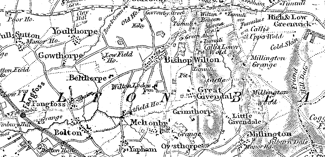
Bacon's Library Map of Yorkshire
previous map | up | next map

This is a portion of a map from 1892 with a scale of 2 miles to one inch. The overall size of the map which was made to hang on a library wall is 64 by 52 inches.
Spot the points of interest: Garrowby New Inn (now Garrowby Lodge on the double bend in Garrowby Street just before the rise up Garrowby Hill) is identified as the "Rose & Crown"; the Old House further up Garrowby Hill was formerly Garrowby Street Inn which predated the Rose & Crown.
At least one person has noticed that some of the features on this map suggest a date earlier than 1892. Evidently Bacon's map was a reprint of a map of 1843 by W. C. Hobson.
(c) Copyright 2009 Contributors. All rights reserved. |